Maps
Alberta is a province in western Canada. It is located between British Columbia and Saskatchewan, and Montana is its closest US neighbour. Visit the links below to learn more about ways to travel throughout the province.
Bus Routes
Buses are a convenient way to explore Alberta, from the bustling cities and rolling prairies to the Canadian Rockies.
Cycling Routes
There are seemingly endless routes to explore if you opt to hop on a bike and travel on two wheels.
Road Maps
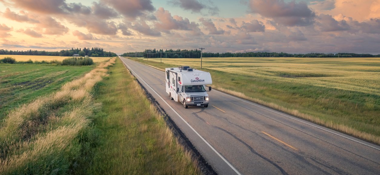
Fuel up the car and hit the open road. Visit the link below to learn more about navigating the province by car.
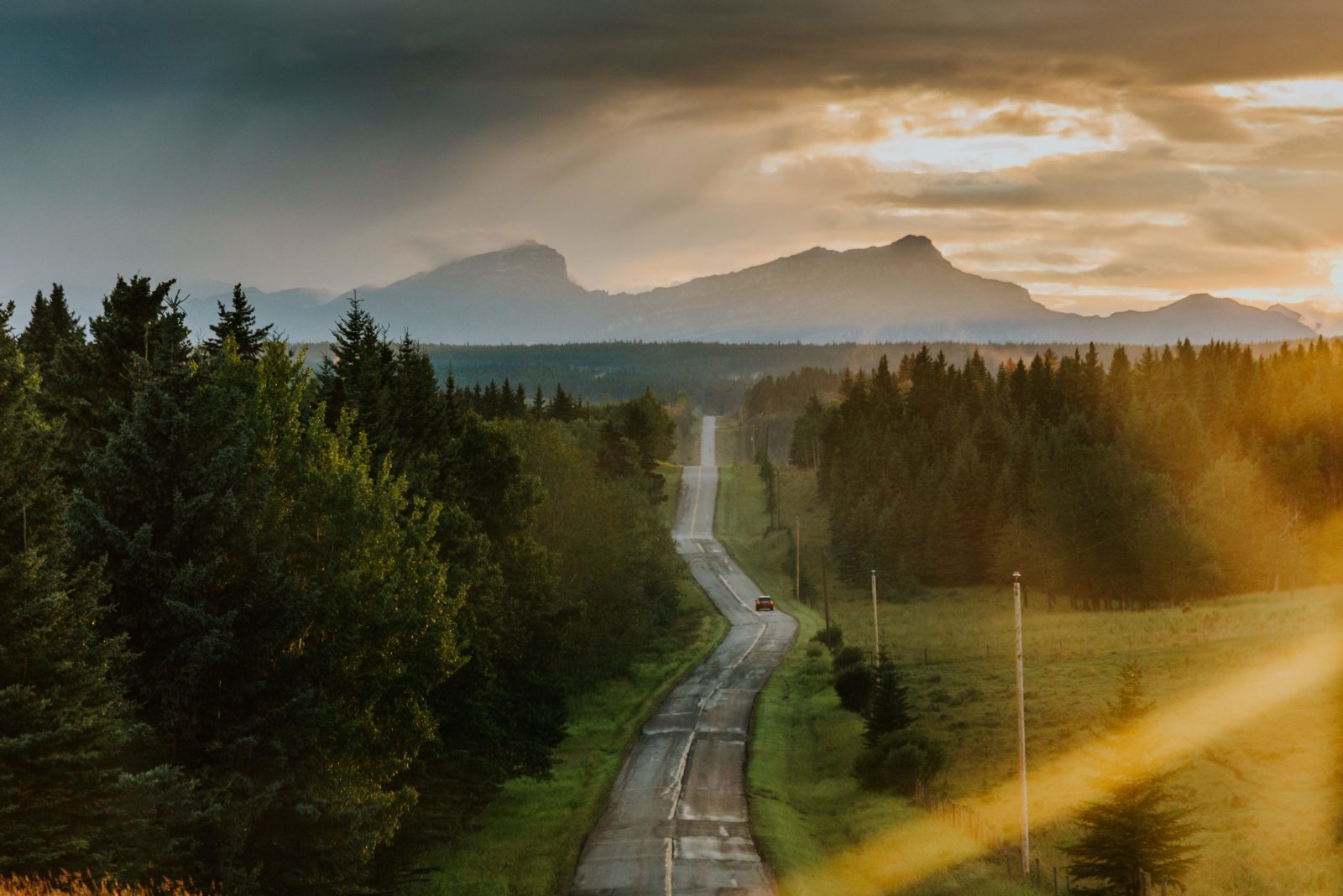
Road trips & itineraries
There's nothing like an Alberta road trip. Get inspired for your next great adventure.
Start PlanningTransportation
Car Rentals
You'll find major car rental companies at all three of Alberta's international airports and at locations within each city.
Taxis
Sit back and relax while someone else drives. Taxis are available in Alberta cities, including at all three international airports.
Ridesharing
Uber is a popular and affordable transportation option in cities like Calgary, Edmonton, Fort McMurray and Red Deer.